How to find us
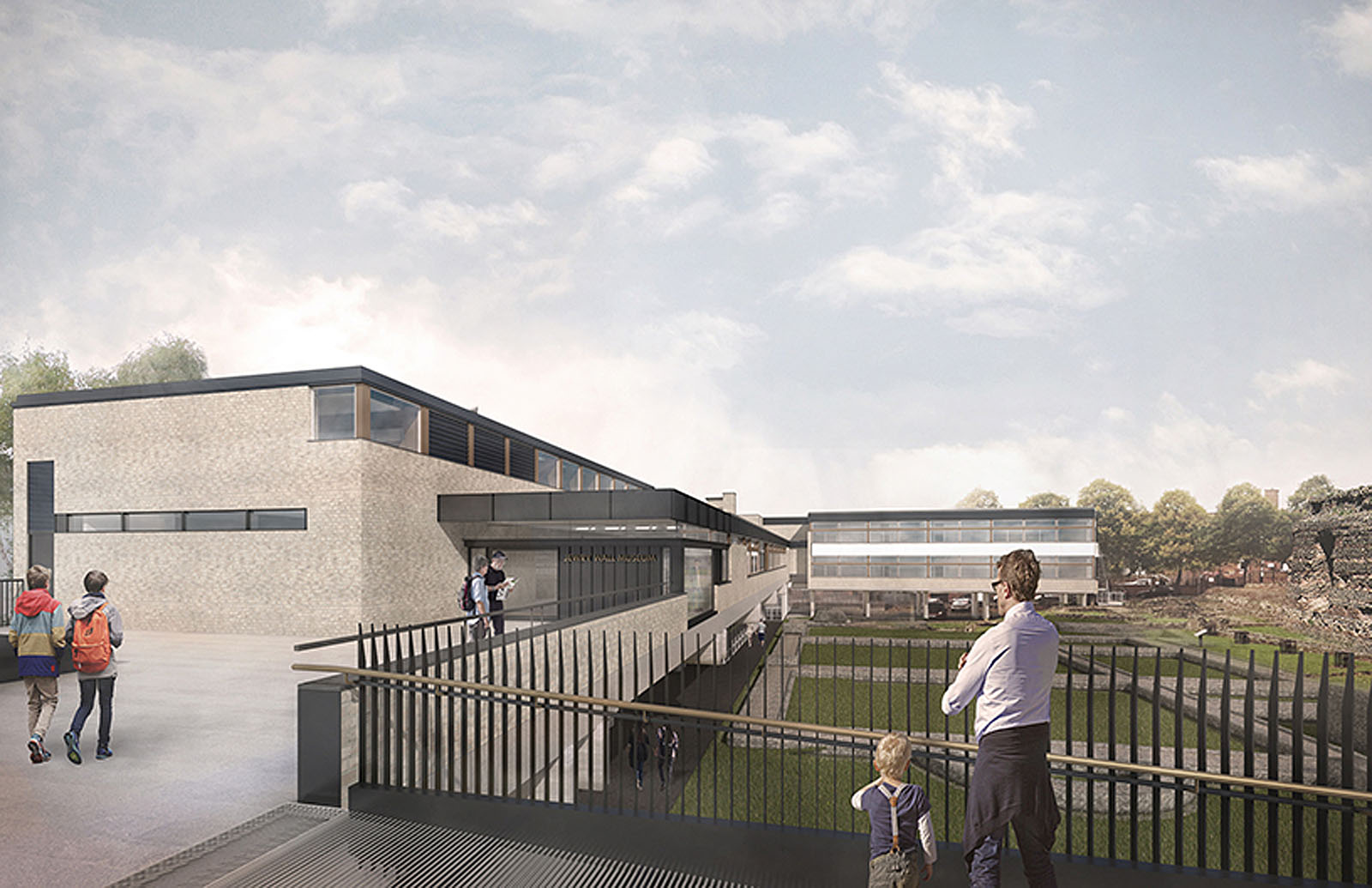
Jewry Wall Museum, St Nicholas Circle, Leicester, LE1 4LB.
Conveniently located in Leicester city centre, we’re just a 2-minute walk from Jubilee Square and the High Street, 12-minute walk from both St Margaret’s Bus Station and the Haymarket Bus Station, and a 20-minutes walk from Leicester Railway Station.
What3Words helps to make locations more accessible. You can use this link on the what3words website or ‘beast.enjoyable.ashes’ on their app to find us.
Getting to Jewry Wall Museum
Car Parking: as a city centre attraction, Jewry Wall Museum does not have any designated parking but there are many car parks within Leicester city centre, many are very close by.
Leicester City Centre has car park signage that updates spaces available at all long stay car parks, with more than 8,500 parking spaces in the city centre organised into Zones.
The nearest long-stay car parks to Jewry Wall Museum are in the West & South Zones
Leicester St Nicholas Circle | NCP Car Parking (LE1 4LF) with 646 spaces, 70 wide spaces, 5 disabled spaces, open 24 hours a day.
Highcross Shopping Centre Rooftop Car Park (LE1 4FY) with 1051 spaces, 70 disabled spaces, 28 family spaces, electric charging facilities, shopmobility, open 24 hours a day.
Highcross Shopping Centre Main Car Park (LE1 4QJ) with 2000 spaces, 109 disabled spaces, 56 family spaces, electric charging facilities, car washing facilities, open 24 hours a day.
Newarke Street Car Park (Sue Townsend Theatre) (LE1 5SN) with 470 spaces, free blue badge parking, open 6:30am to 1am.
Leicester City Council have produced a Map of Leicester City Car Parks and information detailing all public car parks in Leicester and their charges.
Please note that these car parks are not operated by the Visitor Centre and that use of these parking bays are subject to the terms and conditions of the car park operator.
Disabled Car Parking: Council-run city centre car parks offer free parking for blue badge holders. These can be found on the council’s car parking web pages. On-street parking for blue badge holders is available at Greyfriars and Applegate.
Shopmobility: Leicester has a free loan service providing scooters, powerchairs and wheelchairs available to anyone who struggles to get around the city centre. Membership is required in order to use the scheme, it is a free scheme and can be used immediately after joining. To become a member you will need two proofs of identity (which include your current address) and two passport sized photographs. Find out more about Shopmobility.
Park & Ride: There are three park and ride services for the city centre, two of which operate very close to the Visitor Centre, with the third being a short walk away. For more details please visit the Choose How You Move website.
By Bus: King Richard III Visitor centre is easily reached by any of the bus services coming into the city centre. The Haymarket Bus Station and St. Margaret’s Bus Station are both a short walking distance away. Leicester has a big bus plan allowing you to tap and ride on all services, and there is a map of all Bus Services into Leicester.
General bus enquiries, call Traveline 0871 200 2233
National Express and Regional Bus services terminate at St. Margaret’s Bus Station.
Walking directions from St. Margaret’s Bus Station are available via Google Maps.
Hop Bus: Leicester has a free hop-on-hop off bus service that circles the city centre, operating every ten minutes Monday to Saturday (excluding Bank Holidays) from 8am to 6pm, with stops near the train station and bus stations, it drops off right next to the King Richard III Visitor Centre on Southgates, making it a fantastic way to get from one side of the city to another, for free.
By Train: Leicester Railway Station is serviced by East Midlands Trains on the London St Pancras to Sheffield line, it is also part of the Cross Country network from Birmingham New Street to London Stansted airport, along with direct trains to cities including Nottingham, Birmingham, Derby, Lincoln and Cambridge. For timetables and services, please see the National Rail or Trainline. We are less than a 15 minute walk from the station. Walking directions are available on Google Maps.
By Car: We recommend using the postcode for one of the parking options described below if you are using a satellite navigation system, the area around Jewry Wall Museum is a major thoroughfare and/or largely pedestrianised and there is no public parking on site.
From the South: Junction 21 of the M1. Exit the M1 at Junction 21, signposted M69 and Leicester and follow the signs A5460 towards Leicester.
Directions from the South are available via Google Maps.
From the North: Junction 22 of the M1. Exit the M1 at Junction 22 and follow the signs A50 towards Leicester. King Richard III Visitor Centre is clearly marked on brown tourism traffic signs.
Directions from the North are available via Google Maps.
From the North East: Use the A6, A46 or A607 to head towards Leicester. King Richard III Visitor Centre is clearly marked on brown tourism traffic signs.
Directions using the A6 or A46 or A607 are available via Google Maps.
From the South East: Use the A6 or A47 to head towards Leicester. King Richard III Visitor Centre is clearly marked on brown tourism traffic signs.
Directions using the A6 or A47 are available via Google Maps.
Travel Updates: For the very latest travel news we recommend tuning into BBC Radio Leicester on 104.9FM or follow Area Traffic Control on Twitter: @ATCLeicester
By Bicycle: If you are visiting Leicester via bicycle, there is a large network of cycle paths and a secure bicycle storage facility at Leicester Town Hall Square, LE1 9BG, see the ChooseHowYouMove website for more information. Leicester has lots of options to rent cycles and e-bikes, check the You Well website for more information.
By Canal Boat: If you are visiting Leicester via the canal network, there are safe moorings available at Castle Gardens. The King Richard III Visitor Centre is less than five minutes walk from Castle Gardens.
By Air: East Midlands Airport (EMA) approximately 30-minute car journey. Driving directions from the airport are available via Google Maps. There is a Skylink bus service that connects EMA to St. Margarets Bus Station, operates 24 hours a day, approximately 45-minute bus journey. Birmingham International Airport (BHX) approximately 50-minute car journey.
By Coach: The coach drop-off point for the Jewry Wall Museum is on St Nicholas Circle, which is directly outside the entrance. Limited on-street parking for coaches is available free of charge in the city centre. Spaces must be booked in advance through our group bookings team; please email us. More information about city centre coach parking can be found here.